Jamaica to remain on flash flood warning through the night

/ Our Today
administrator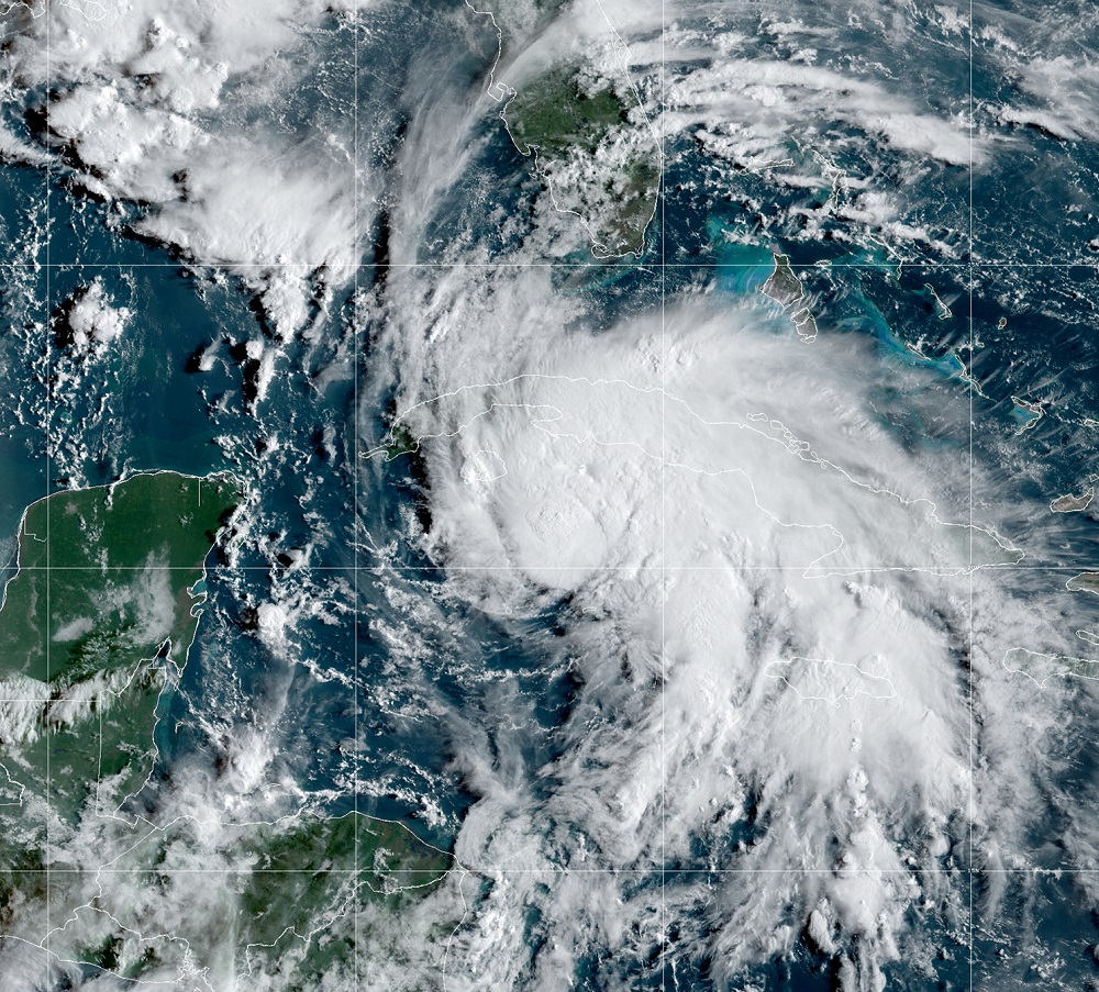
As Jamaica continues to feel the effects of Hurricane Ida, the Meteorological Service is continuing its flash flood warning for all parishes until 8:00 am tomorrow (August 28).
A flash flood warning means flooding has been reported or will occur shortly and that motorists and pedestrians should not attempt to cross flooded roadways or other low-lying areas as strong currents are likely.
In addition, residents in low-lying areas should be on the alert for rising waters and be ready to move quickly to higher ground.
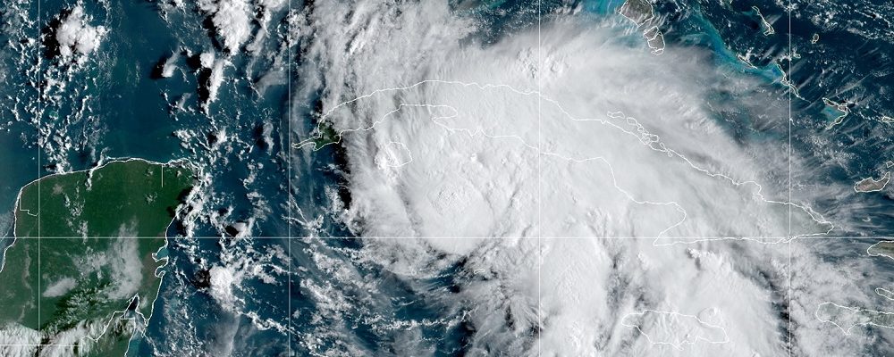
According to the Met Service, at 4:00 pm today, the centre of Hurricane Ida was located near latitude 22.1 degrees North, longitude 83.2 degrees West.
Ida is moving toward the northwest near 24 km/h, and this general motion should continue until the weather system reaches the northern Gulf coast on Sunday.
A slower northward motion is forecast after Ida reaches the northern Gulf coast.
On the forecast track, the centre of Ida will pass over western Cuba during the next several hours, and then move over the southeastern and central Gulf of Mexico later tonight and Saturday.
Ida is forecast to make landfall along the US northern Gulf coast within the hurricane warning area on Sunday.
Maximum sustained winds have increased to near 130 km/h with higher gusts. Little change in strength is anticipated while Ida moves over western Cuba this evening. Steady to rapid strengthening is expected when Ida moves over the southeastern and central Gulf of Mexico over the weekend, and the hurricane is expected to be an extremely dangerous major hurricane when it approaches the northern Gulf coast on Sunday.
MODERATE TO HEAVY SHOWERS AND THUNDERSTORMS AFFECTING ALL PARISHES
Observational data indicate that moderate to heavy showers and thunderstorms have been affecting sections of all parishes, especially central and western parishes, throughout today.
As Ida continues to move further away from Jamaica, the forecast is for periods of showers and thunderstorms to continue for several more hours across sections of most parishes, especially southern and northwestern parishes. Conditions are then expected to improve by Saturday morning.
Total rainfall accumulation of 150-250mm (6-10 inches) are expected. Strong gusty winds are also expected in the vicinity of thunderstorms and over hilly terrain. Flash flooding is expected to occur over low-lying and flood-prone areas of all parishes. Additionally, due to the high level of ground saturation, landslides are also possible.
The Met Service said marine operators are advised to remain in safe harbour until all warning messages have been lifted and sea conditions have returned to normal.
The Met Service said it would continue to monitor the progress of Hurricane Ida and all interests must pay special attention to further releases.


Comments