Because of its location along the northern margin of the Caribbean Plate, Jamaica is vulnerable to earthquakes, having recorded a few major seismic events that will never be forgotten.
This year, the Office of Disaster and Preparedness Management (ODPEM) has announced that Jamaica will celebrate Earthquake Awareness Week (January 8 to 14) under the theme ‘Drop, Cover, Hold… Earthquake Readiness Is Within Your Control’.
In recent times, Jamaica has not seen any major earthquakes. But, there are a few historic seismic events that the country will never forget, because of their impact on the economy and livelihood of citizens.
The Earthquake Unit (EQU) is a Research Unit of the Department of Geology and Geography in the Faculty of Science and Technology at the University of the West Indies, Mona Campus. The unit documents the history and effects of earthquakes on the island.
Here are four major earthquakes that took place in Jamaica and the effects that they had on the Caribbean territory.
Port Royal (1692)
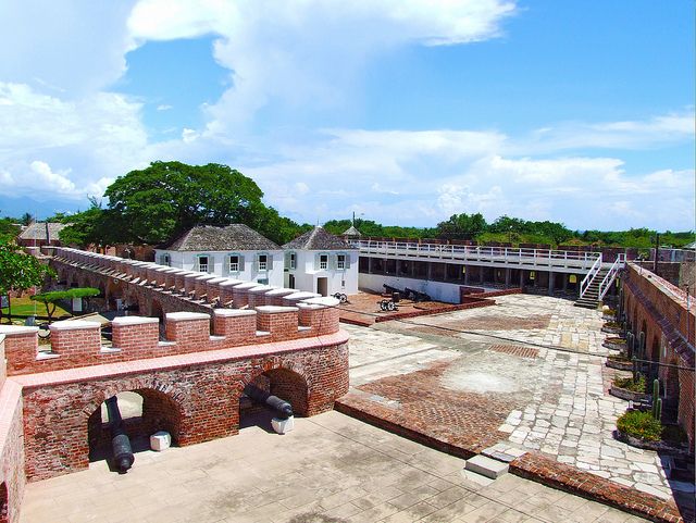
Most notable was the Port Royal earthquake that took place in 1692, a historic event that saw more than 5,000 people on the island lose their lives.
This earthquake is arguably the most popular among Jamaicans and occurred on June 7, 1692.
According to documents found at the National Library of Jamaica, the events were felt all across Jamaica. But its impact was worse on the city of Port Royal, resulting in 1,500 to 2,000 inhabitants being killed. Thousands later died due to the aftermath of the events and injuries they had sustained.
Information obtained from the National Library also indicates that several official documents were lost or destroyed, leading to Jamaica’s incomplete history. Monuments were also shattered beyond repair.
The earthquake was reported to have occurred without warning, with modern technology estimating its strength to be magnitude 7.5.
The Kingston earthquake (1907)
The Kingston earthquake of 1907 took place on January 14, a day when the island was filled with visitors from the United States and Canada.
According to historical records, immediately after the incident occurred, a fire began, destroying 56 acres of commercial land in Kingston. This included areas now known as Orange Street, South Parade and Mark Lane. Buildings on Harbour and Port Royal Street were also demolished.
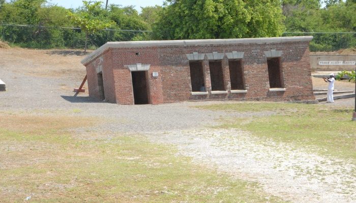
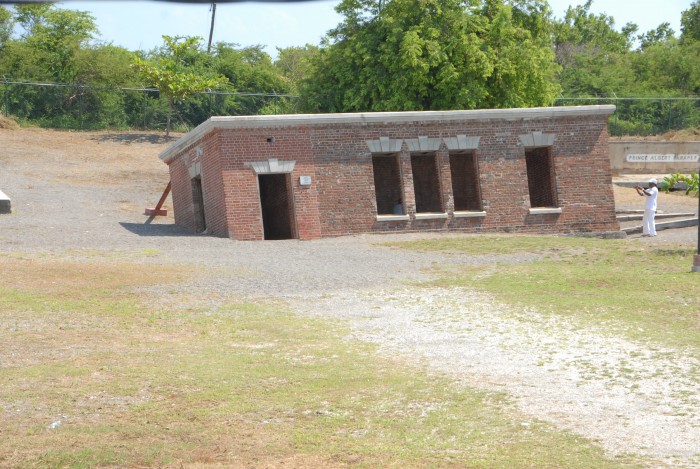
This earthquake also gave birth to the historical monument located in Port Royal and known as ‘Giddy house’, that attracts tourists from all across the globe.
Built in 1888, ‘Giddy House’ was an old Royal Artillery Store for the Victoria Battery. Th earthquake shifted the building to a 45 degree angle that causes people to feel giddy or off balance when they enter, thus giving it the name Giddy House.
The 6.2 magnitude earthquake resulted in 800 to 1,000 persons reported dead and more than £2 million worth of damage recorded. Several amputations were also recorded, while thousands were injured and many reported missing.
The 1957 earthquake
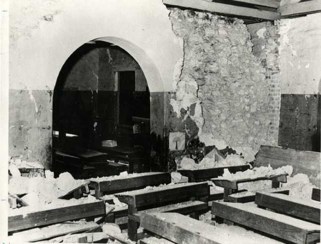
Though not as destructive as the rest, the 1957 earthquake was reported to be the strongest felt since 1907, with the majority of its damage recorded on the western side of the island.
Records show that the event took place on March 1 and had a magnitude of 6.2. It claimed the lives of three people and several other persons reported injuries.
Historical documents show that there were disruptions of electrical services, transportation and communication. Train services from Kingston to Montego Bay were affected by debris that blocked railways and two major roads were also rendered impassible in Hanover.
The 1993 earthquake
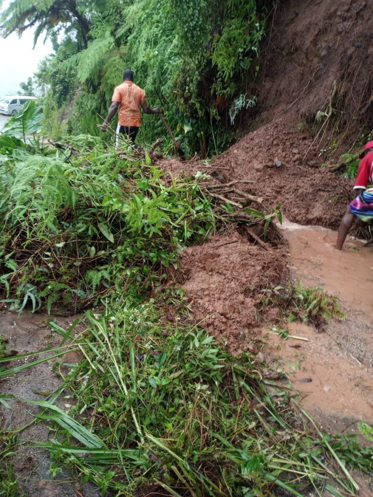
The Earthquake Unit in Jamaica state that on January 13, 1993, the island recorded its most significant earthquake since 1957, an event that measured magnitude 5.4.
There were two fatalities recorded and estimated economic loss of J$15 million.
In addition to this, approximately 518 families were displaced due to damage caused to their homes, 450 of whom were from Kingston and St Andrew. Significant damage was also done to water treatment plants and pipelines in several areas.
Landslides occurred along the Yallahs Water Pipeline route – between Hope River and August Town, Rest Haven and Bull Bay, and Cambridge and Eleven Miles. An estimated J$2 million was used to rectify the situation.
– Send feedback to [email protected]




Comments