
‘Fred brews’: Potential cyclone strengthens, tropical storm watch activated for several Caribbean islands

Gavin Riley / Our Today
administrator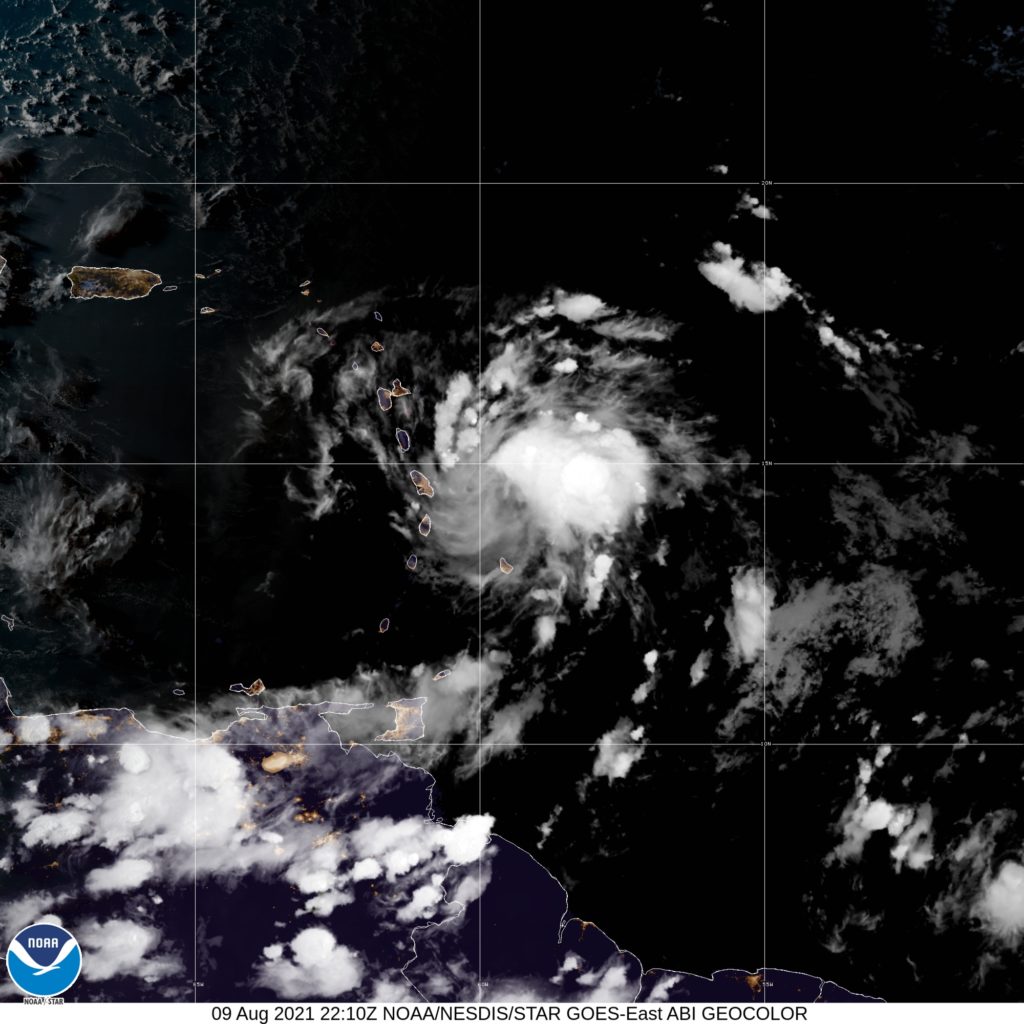
Weather sleuths at the US-based National Hurricane Center (NHC) warn that as a system further strengthens in the eastern Caribbean, a tropical storm could form as early as Monday night (August 9).
The NHC, in a 5:00 pm Atlantic Standard Time (AST) advisory, said that Potential Cyclone Six continues to show signs of better organisation and, in the presence of favourable environmental factors, sees the formation of Tropical Storm Fred.
“Gradual strengthening is forecast during the next 48 hours and the disturbance is expected to become a tropical storm tonight,” the agency noted.
As at 5:00 pm AST, Potential Cyclone Six was centred at latitude 14.2 North, longitude 59.2 West—or roughly 260 kilometres east-southeast of Dominica.
The disturbance is moving west-northwesterly at 24 kilometres/hour, and packs maximum sustained winds of 55 kilometres/hour, with higher gusts.
In the meantime, tropical storm watches have been activated for the listed countries/territories:
- Martinique and Guadeloupe
- Dominica
- Puerto Rico, including Culebra and Vieques
- US Virgin Islands
- Dominican Republic on the south coast from Punta Palenque eastward and the entire northern coast to the Dominican Republic/Haiti border.
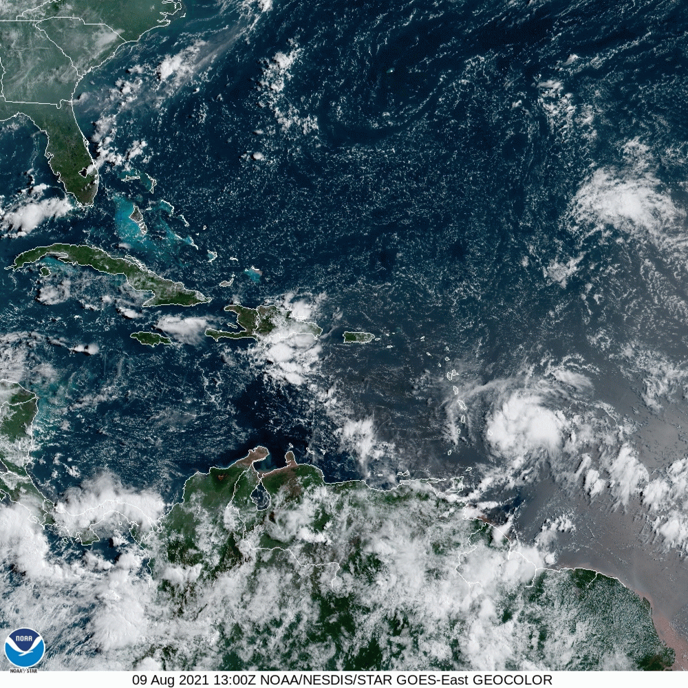
On the forecast track, the NHC further indicated that Potential Cyclone Six is expected to move through a portion of the southern Leeward Islands tonight, pass near or over the US Virgin Islands and Puerto Rico late Tuesday and Tuesday night, and near or over Hispaniola on Wednesday.
The Jamaica Meteorological Service, in its own news release, stated that along its current trajectory, the system does not pose a direct threat to the island.
Isolated amounts of six inches are possible over sections of the affected Leeward Islands, Virgin Islands, and Puerto Rico, which the NHC warns “could lead to flash, urban, and small stream flooding and potential mudslides”.
Rainfall up to three inches are expected over the northern Windward Islands, while some six inches could be in store for the Dominican Republic.


Comments