Hurricane season kicks into hyperdrive as NHC monitors four disturbances

/ Our Today
administrator
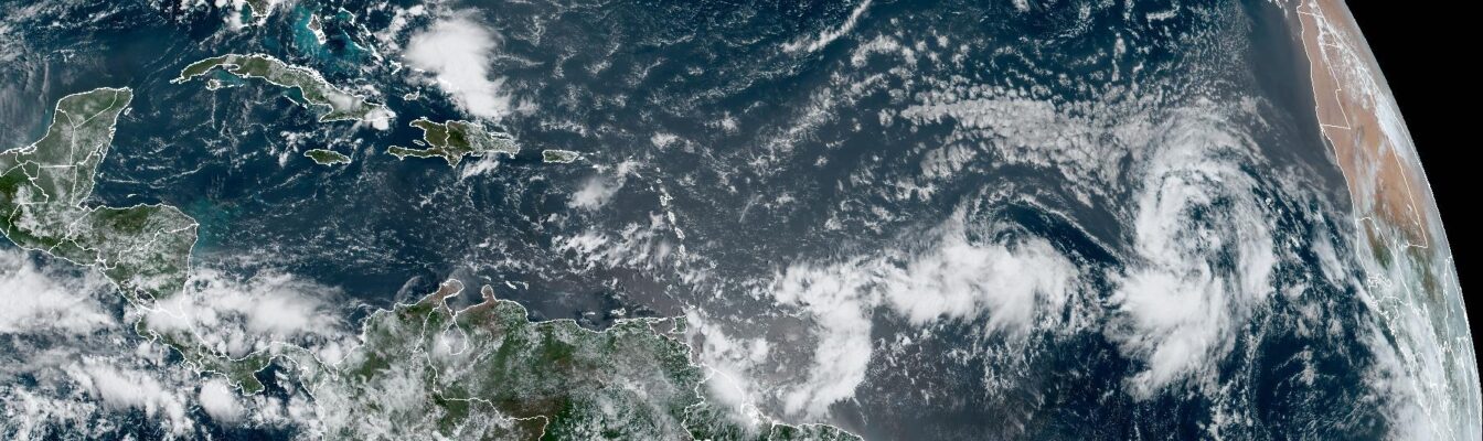
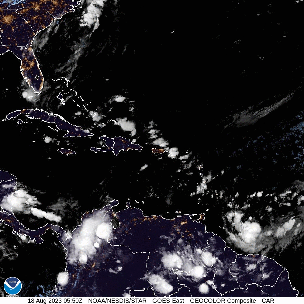
After nearly a month of relative quiet, the 2023 Hurricane Season has kicked into hyperdrive today (August 18) as meteorlogists are busy tracking four disturbances in the tropical Atlantic Basin.
The system with the most potential, designated InvestAL98, is currently located a few hundred miles west of the Cabo Verde Islands off the west African coast.
While experts at the Miami-based National Hurricane Center (NHC) say that environmental conditions appear generally favorable to stregnthen, upper-lever winds may prove too great to overcome heading into the new week, stunting any further development of the disturbance.
InvestAL98 is, however, anticipated to become a tropical depression over the weekend on a west-northwest or northwest trajectory across the eastern tropical Atlantic. Formation chances for the next two-to-seven days stand at 60 and 70 per cent respectively.
Nearly situated in the central tropical Atlantic lies InvestAL99, which NHC sleuths aslo predict to gather some steam in the coming days. The system, halfway between the Cabo Verde Islands and the Lesser Antilles, continues to produce disorganised showers and thunderstorms.
InvestAl99’s chances of development are listed at a ‘medium’ 40 per cent likelihood over the next two-to-seven days, though it is anticipated to encounter the same upper-level wind restraints into next week.
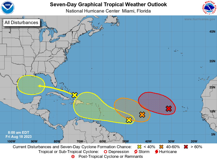
Environmental conditions are only marginally conducive for further development of the low-pressure trough, with a tropical depression still possibly forming during the next couple of days over warm ocean waters.
Closer to the region, another low-pressure trough barrels toward the Eastern Caribbean. The NHC advised that some slow development is likely throughout the weekend—a prospect that hangs on its eventual interaction with warm waters in the northeastern Caribbean Sea early next week.
In the meantime, formation chances are ‘low’ at 30 per cent in the next seven days.
Finally, NHC attention is fixed at an area of disturbed weather located just north of Hispaniola, forecast to enter into record-high surface temperatures in the Gulf of Mexico by early next week.
Meteorologist also see some slow development into the gulf, where a broad area of low pressure could for on its approach to the western Gulf of Mexico coastline by the middle of next week.
Development chances are ‘low’ at 30 per cent over the next seven days, the NHC added.
The next four available names in the 2023 hurricane list are Emily, Franklin, Gert and Harold.


Comments