
JCF extends curfew in Kingston East, St Andrew police divisions

/ Our Today
administrator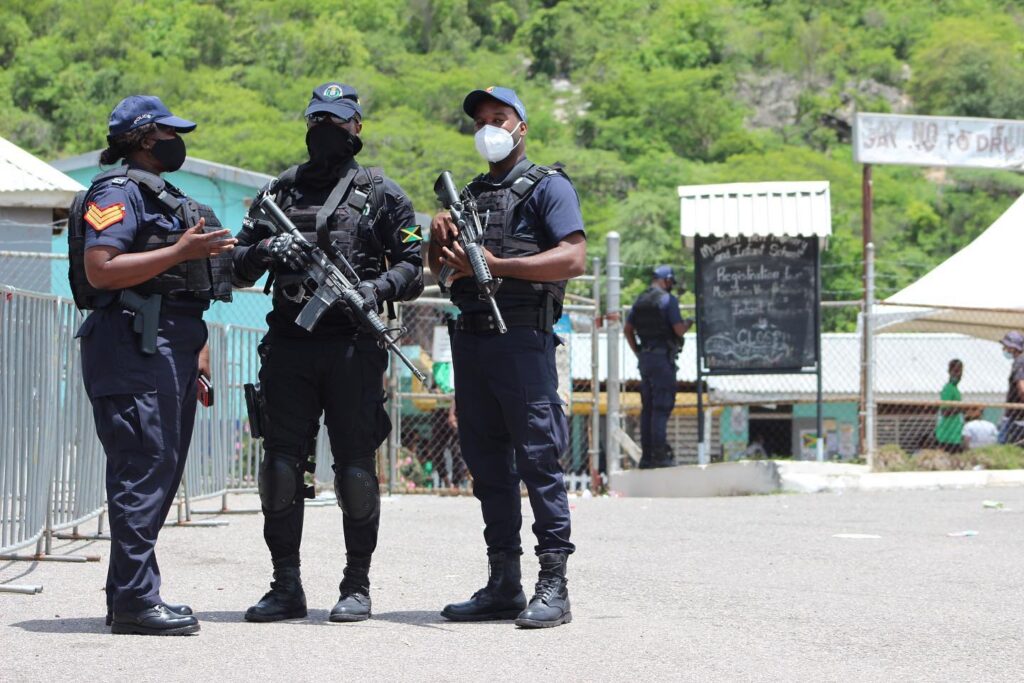
The Jamaica Constabulary Force (JCF) has moved to extend curfew restrictions in the violence-prone Kingston Eastern and St Andrew South police divisions by another 48 hours.
In both instances, the respective curfews continued from 6:00 pm local time on Thursday (April 2) to 6:00 pm on Saturday.
With respect to Kingston East, the boundaries of the curfew are as follows:
North: Along an imaginary line from the mountain ridge from Mountain View Primary School to Cane River Falls.
East: Along an imaginary line from Cane River Falls to the bridge at 10 Miles Bull Bay.
South: Along the coastline from the bridge at 10 Miles, Bull Bay, to Flag Circle.
West: Along South Camp Road from Flag Circle to Vineyard Road, onto an imaginary line to Mountain View Primary School.
Meanwhile, the JCF disclosed that the boundaries of the curfew in St Andrew South are as follows:
East: From the intersection of Chisholm Avenue and Maxfield Avenue, travelling southerly to East Avenue, intersecting at Marcus Garvey Drive.
South: From the coastline at Marcus Garvey Drive, in the vicinity of East Avenue, to the Duhaney River.
West: From the Duhaney River to Kingston Harbour.
North: From the Happy Grove community to the intersection of Chisholm Avenue and Maxfield Avenue, following the divisional boundary.
During the hours of the curfew, residents within their boundaries are required to remain indoors unless otherwise authorised by the commanding officer in charge of enforcing the curfew.


Comments