Mexico on alert as short-lived tropical depression forms in Gulf

/ Our Today
administrator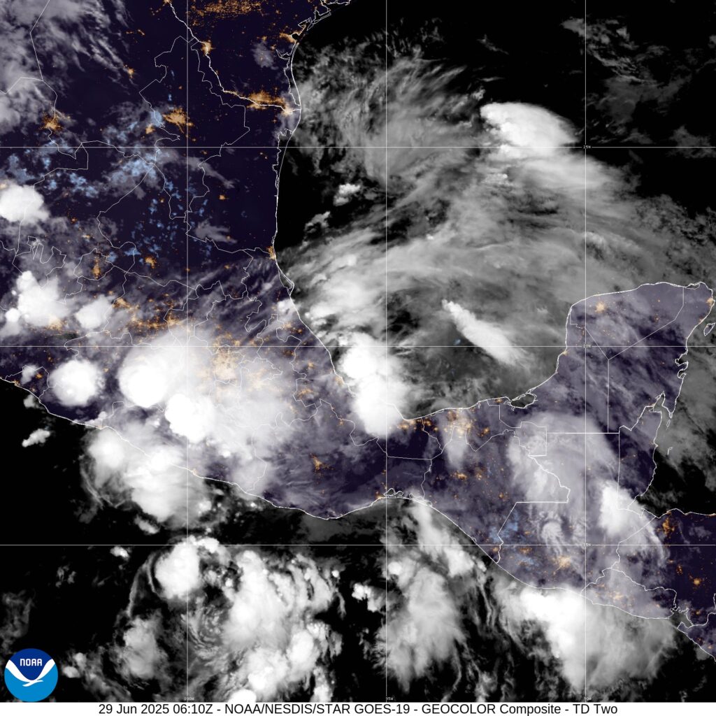
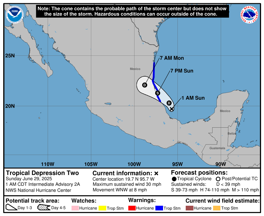
Authorities have issued a tropical storm warning for east-central Mexico ahead of Sunday’s (June 29) anticipated landfall of Tropical Depression Two.
The poorly organised tropical depression, forming from Invest 91L, is expected to strengthen into a short-lived tropical storm, with Barry the next available name in the 2025 Atlantic Hurricane Season.
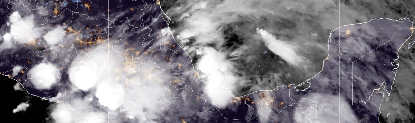
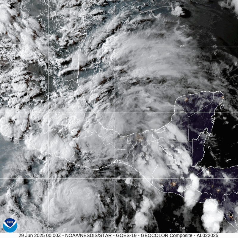
The US-based National Hurricane Center (NHC) located the disturbance’s centre in the Bay of Campeche near latitude 19.7 North, longitude 95.1 West—or roughly 130 kilometres east-northeast of Veracruz as at 10:00 pm Central Daylight Time (CDT) on Saturday.
Moving west-northwest at 13 kilometres/hour, Tropical Depression Two currently packs maximum sustained winds near 45 kilometres/hour, with higher gusts.
The Government of Mexico has issued a tropical storm warning for the Gulf coast from Boca de Catan southward to Tecolutla.
On the forecast track, the NHC anticipated that the system would make landfall along the Mexico coast tonight before moving further inland on Monday.
“Some intensification is expected over the next day or so, and the depression is forecast to become a tropical storm before reaching the coast of Mexico. Weakening is expected after landfall, and the system is forecast to dissipate over eastern Mexico on Monday,” the hurricane watchdog advised.


Comments