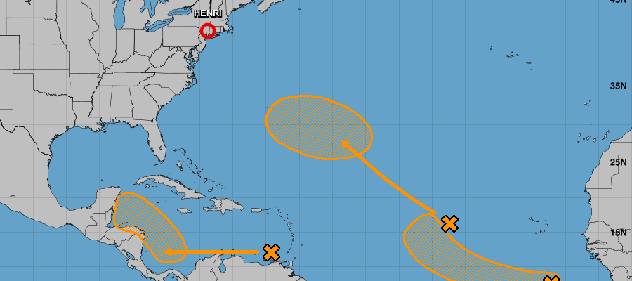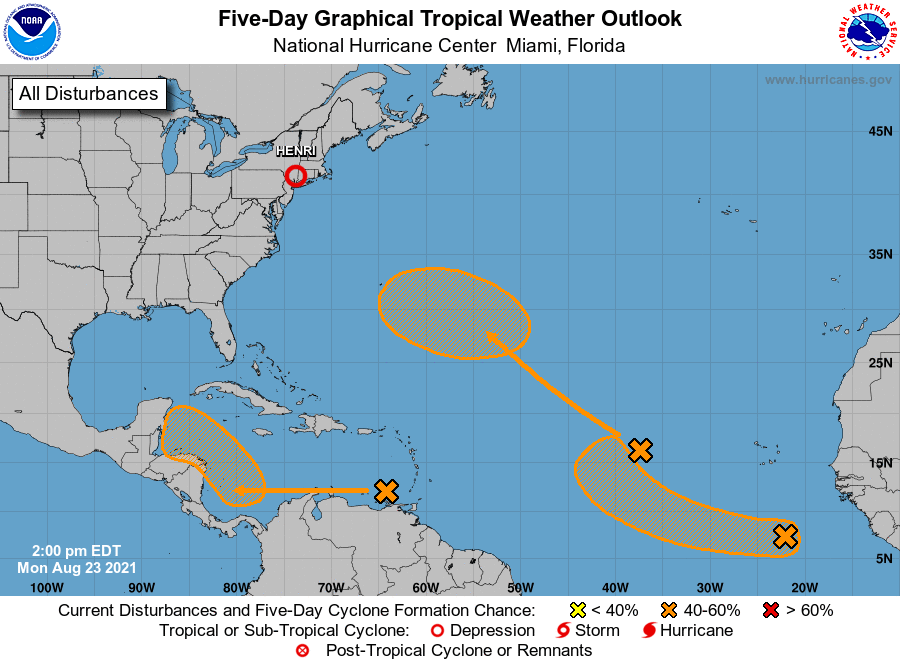

Caribbean countries have been put on alert to three weather disturbances by the US-based National Hurricane Center (NHC) on Monday (August 23)—all with increasing chances of strengthening over the next five days.
As the 2021 North Atlantic Hurricane Season nears its peak of activity, the NHC, in a 2:00 pm Eastern Daylight Time (EDT) advisory, warned that environmental conditions seem favourable for further development.
The first system, a tropical wave over the eastern Caribbean Sea, is expected to form a broad area of low pressure over the southwestern later in the week.
“Thereafter, environmental conditions are forecast to become favourable for gradual development while the system moves west-northwestward over the northwestern Caribbean Sea,” the NHC advised, adding that the wave’s formation chances stand at a ‘medium’ 40 per cent. Computer simulations of its path place it on a course near Central America.
The tropical wave triggered a flash flood warning in St Vincent and the Grenadines after dumping torrential rains on the archipelago on Sunday. The volcano-ravaged country has also been put on alert to possible mudflows/lahars, the National Emergency Management Organisation (NEMO) advised.

The second disturbance is a broad, low-pressure system currently situated more than 1,125 kilometres west of the Cabo Verde Islands.
The NHC, noting the system’s disorganised nature, said the only thing hindering its intensification was “marginally conducive ocean temperatures”.
The hurricane watchdog indicated, however, that some gradual development is possible by week-end while the system slowly moves northwestward over the central Atlantic. Its development chances also stand at a medium, 40 per cent likelihood over the next five days. The system has a projected path that could take it just south of Bermuda.
The third potential system, some 804 kilometres south-east of the Cabo Verde Islands, has captured the watchful eye of meteorologists after its emergence just hours ago.
The NHC also expects this system to slowly develop over the next five days, as it moves west to west-northwest over the tropical Atlantic. Its intensification chances are also listed at a ‘medium’, 40 per cent.

So far, seven named storms have developed during the anticipated above-average hurricane season—three of which (Elsa, Grace and most recently Henri) have strengthened into category one systems.
The next three available names on the 2021 list are Ida, Julian and Kate.


Comments